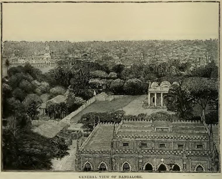
In 1537, Kempegowda I — a chieftain under the Vijayanagara empire — built a mud fort on open ground and laid out a market town beside it. The pete was a grid before the word meant anything here: two great axes, Doddapete running north–south and Chickpete running east–west, crossing at what is still the commercial heart of the old city.
The grid as intention. Each pete quarter took a trade — Akkipete for rice, Balepete for bangles and instruments, Tharagupete for grain, Cottonpete for cotton. The plan wasn’t decoration; it was an economy drawn on the ground.
The towers. Kempegowda II raised four watchtowers marking the limits he imagined the city might one day reach — in Lalbagh, on Bellary Road, at Ulsoor, at Kempambudhi. The city has since outgrown them by an order of magnitude in every direction.
Water as infrastructure. With no river, the founders chained tanks — Dharmambudhi, Kempambudhi, Sampangi — to catch the monsoon. The city’s first grid was streets; its second was water.
Siege and cession. The fort passed through Maratha and Mughal hands to the Wodeyars and then Hyder Ali, who rebuilt it in stone. After Tipu Sultan fell at Srirangapatna in 1799, the old city returned to Mysore rule — and a new, very different settlement was about to be drawn beside it.