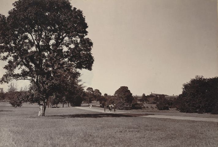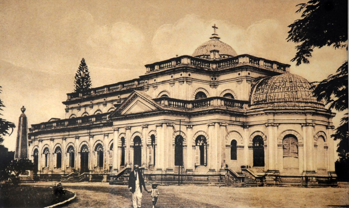
In 1809 the British moved their garrison from Srirangapatna to a stretch of high ground northeast of the pete. The Civil and Military Station grew into a parallel city with its own logic: wide tree-lined boulevards, parade grounds, bungalows in compounds — a grid of leisure and drill laid at an angle to the grid of trade.
Two cities, one name. For over a century Bangalore was administratively two places — the City (the pete, under Mysore) and the Cantonment (under British India) — with different police, different municipal boards, and South Parade (now MG Road) as the Cantonment’s spine.
The railway and the plague. The railway arrived in 1864, stitching Bangalore to Madras. The 1898 plague emptied the dense pete and pushed the city into planned extensions — Malleswaram and Basavanagudi — the first suburbs drawn with sanitation in mind.
Science takes root. In 1909, Jamsetjee Tata’s long-planned research institute opened as the Indian Institute of Science — the seed of everything the city would later become. Public power followed: Bangalore lit electric streetlights in 1905, among the first cities in Asia.
Handover. In 1949, two years after independence, City and Cantonment finally merged into a single corporation. The parallel city folded into the whole, leaving its boulevards, its churches and its cosmopolitan grain.